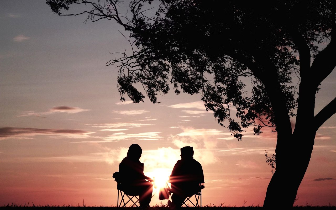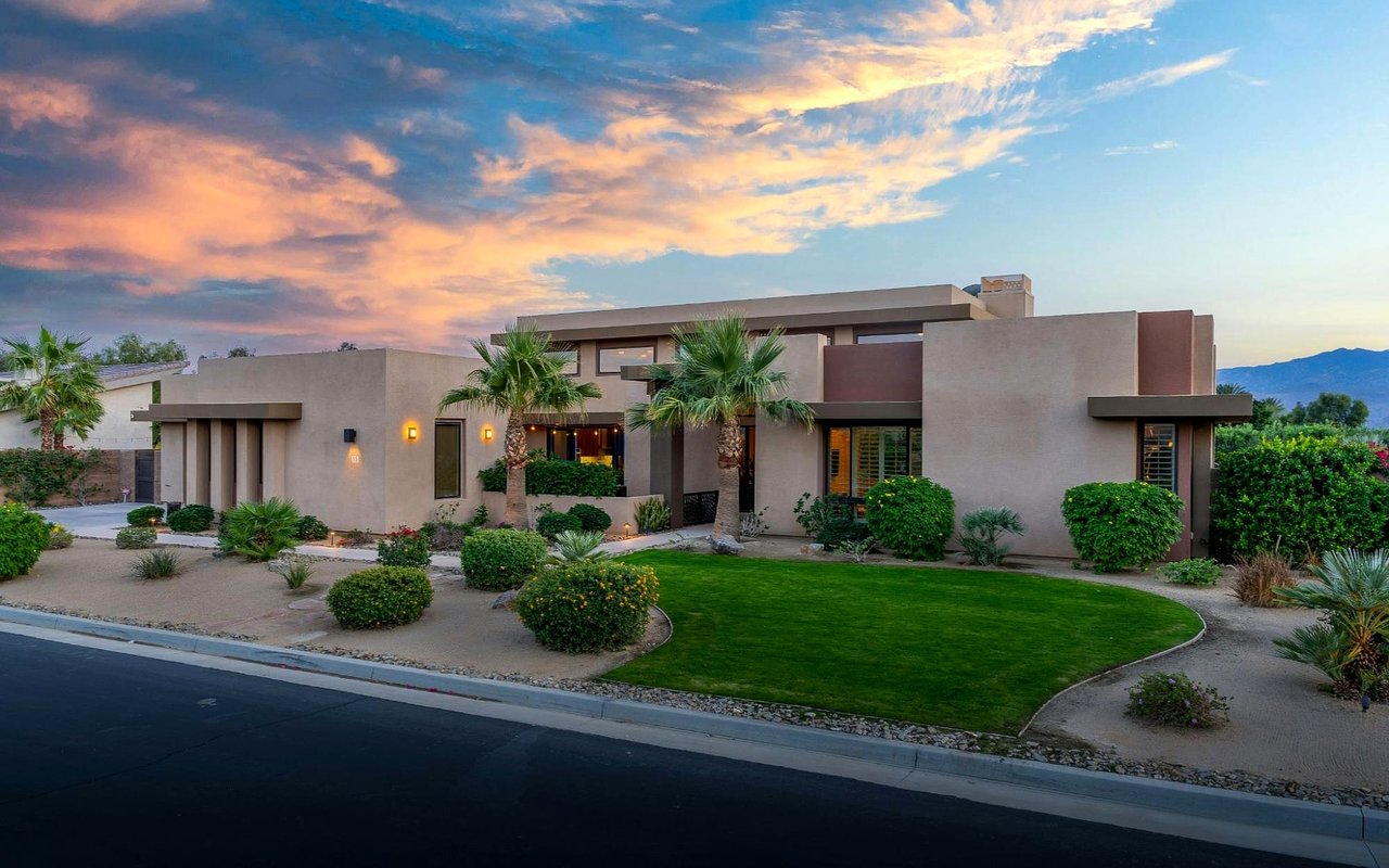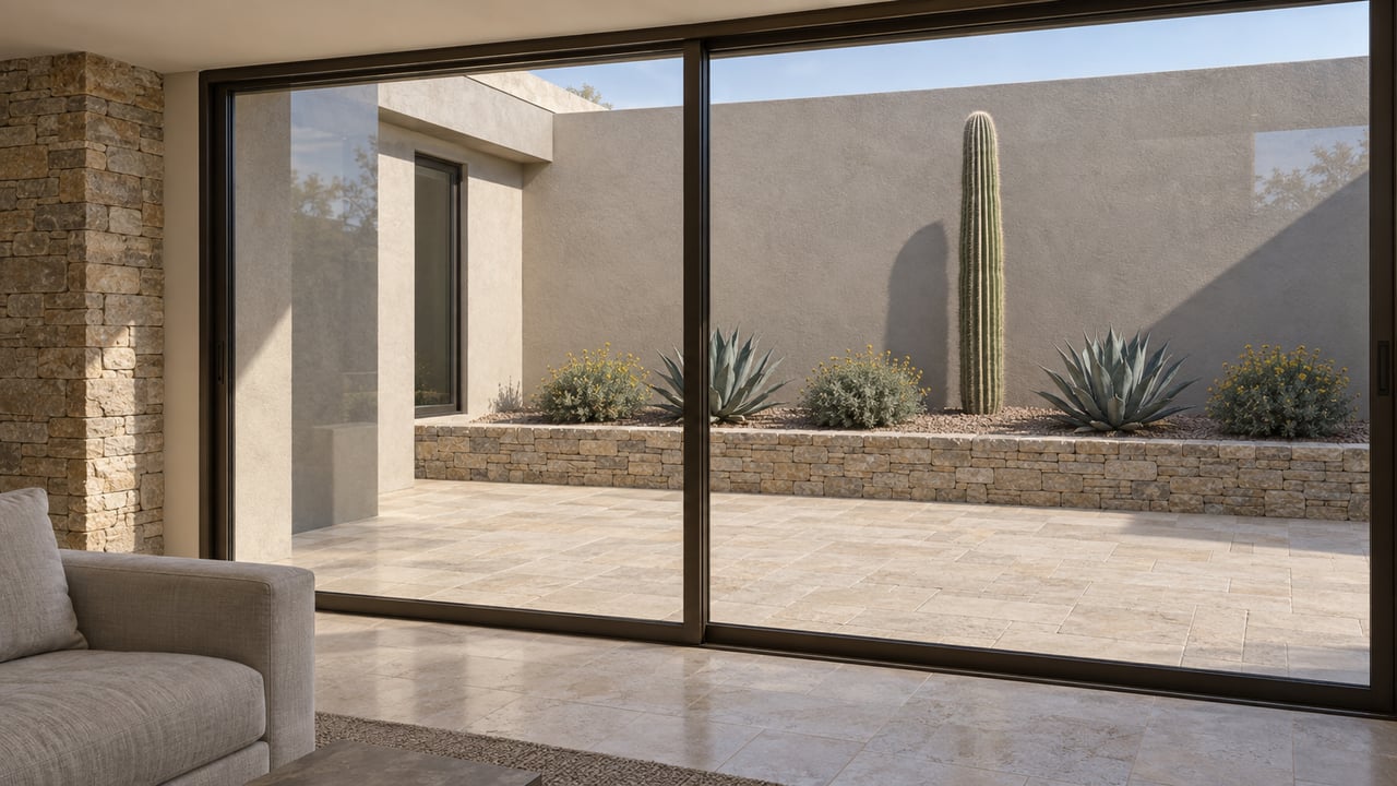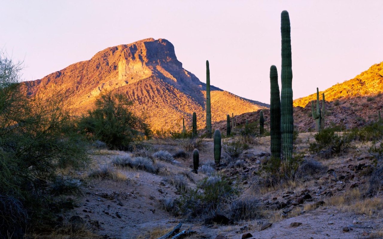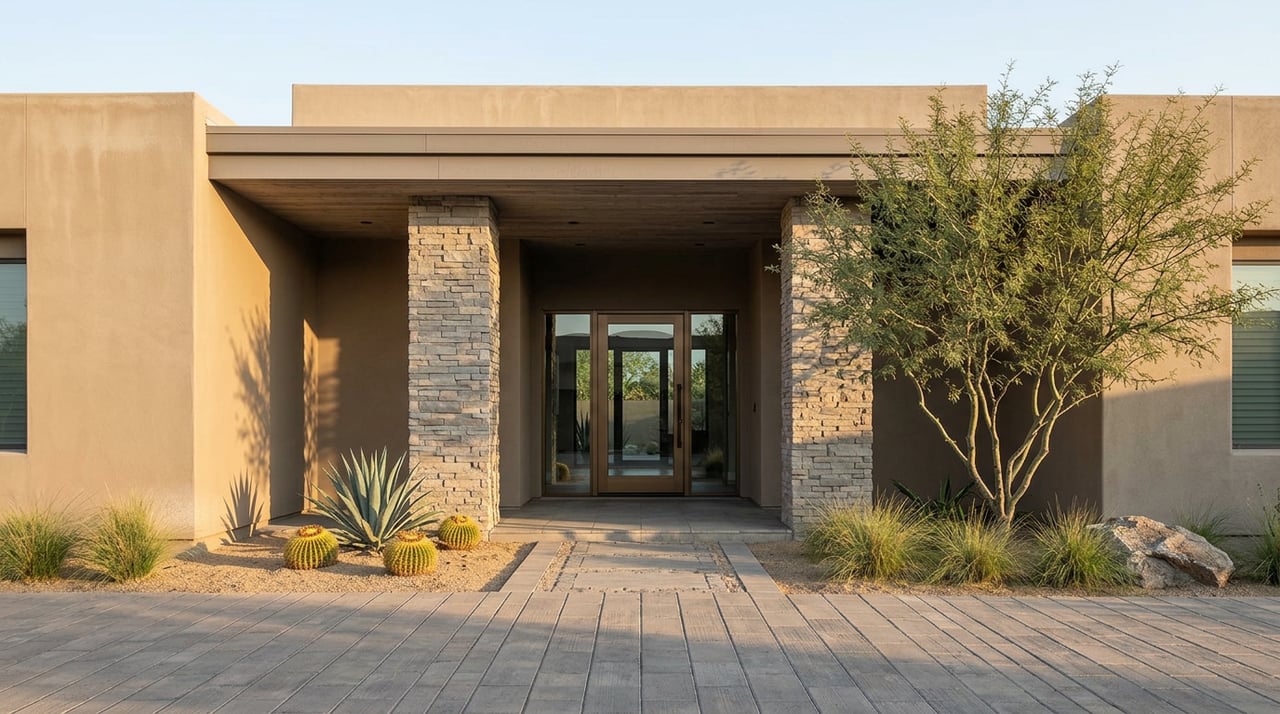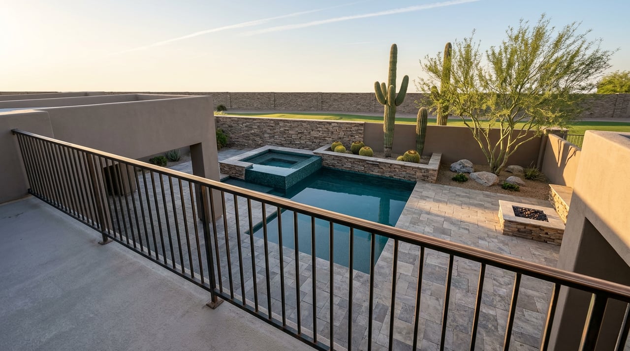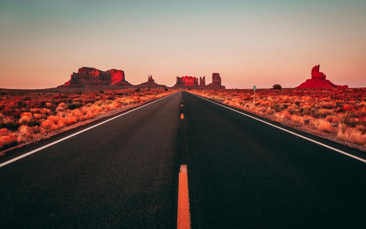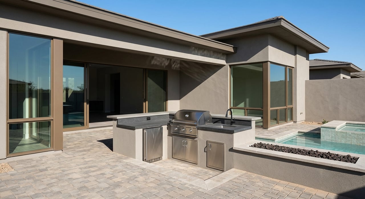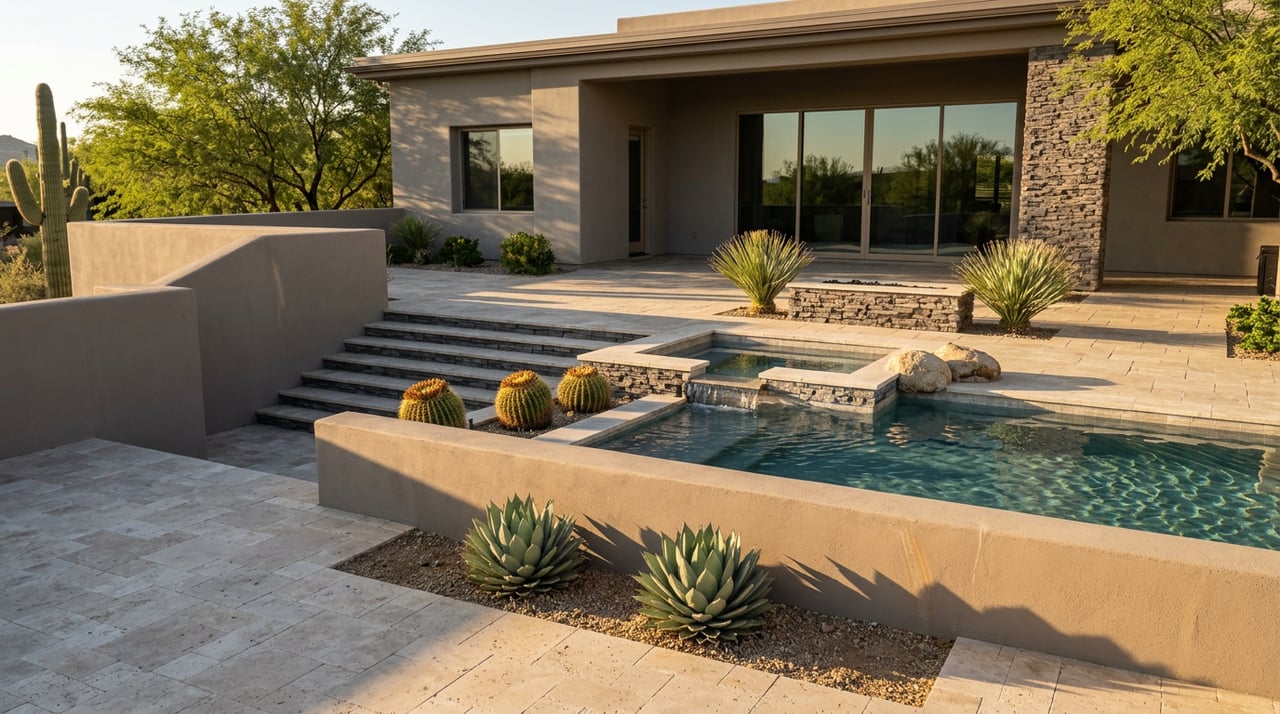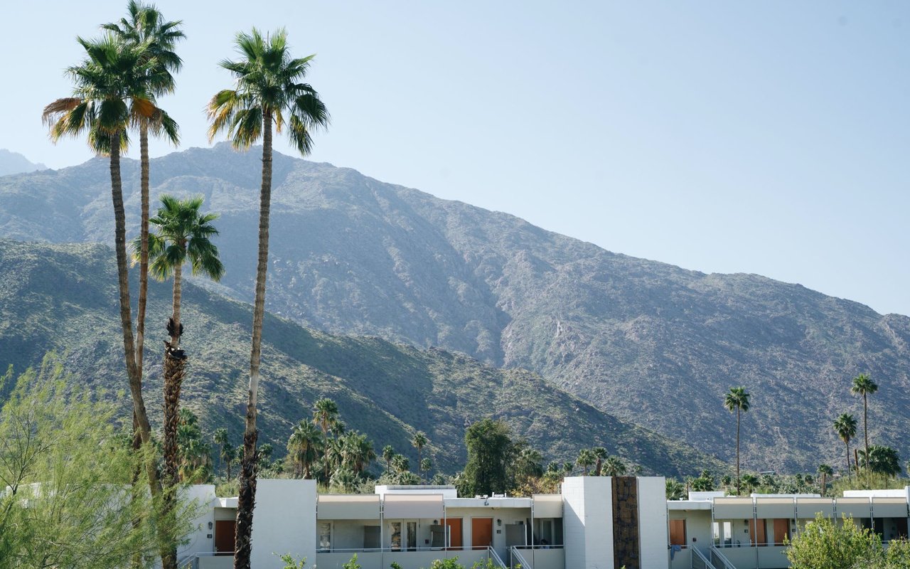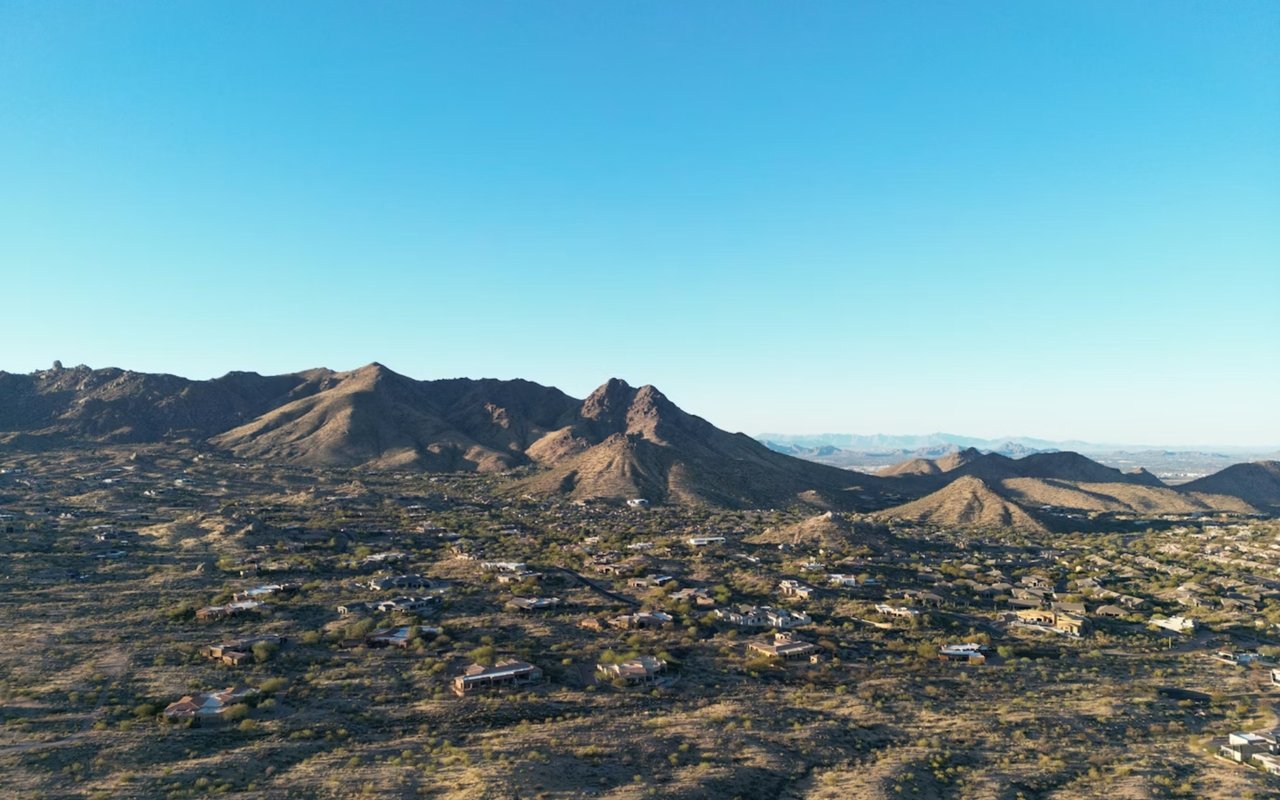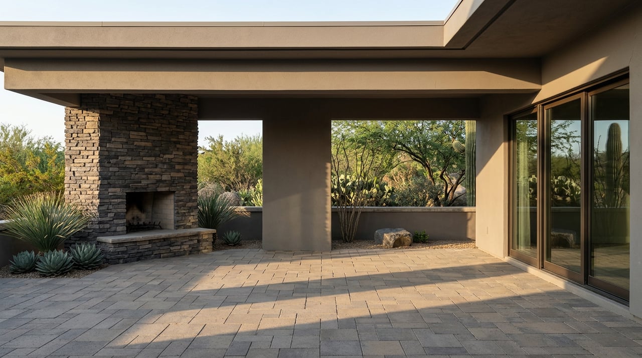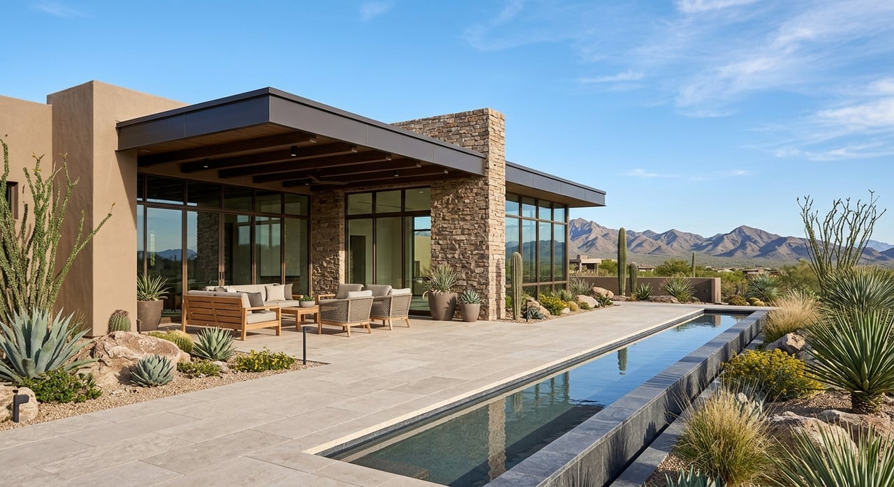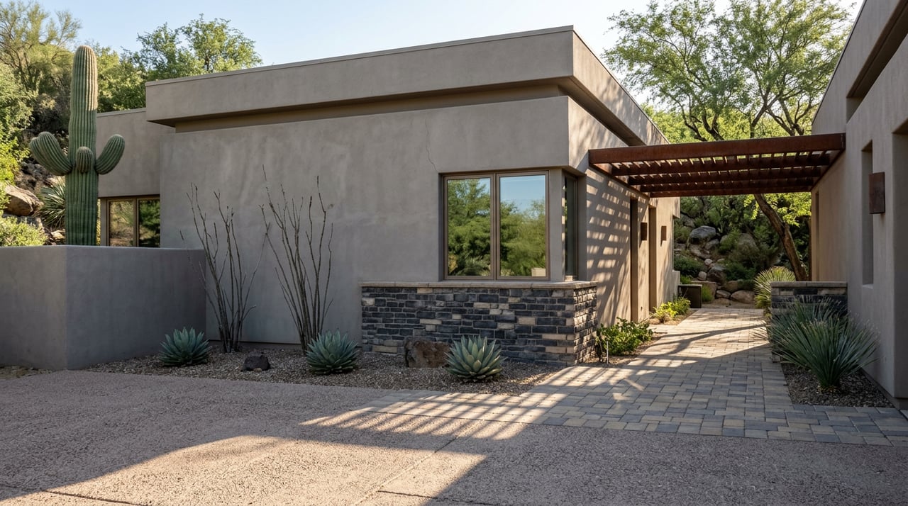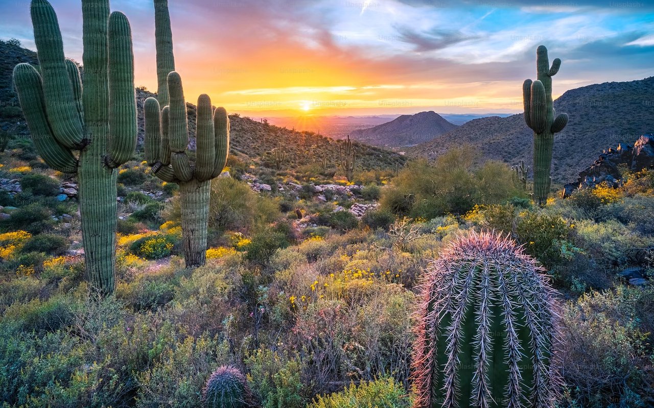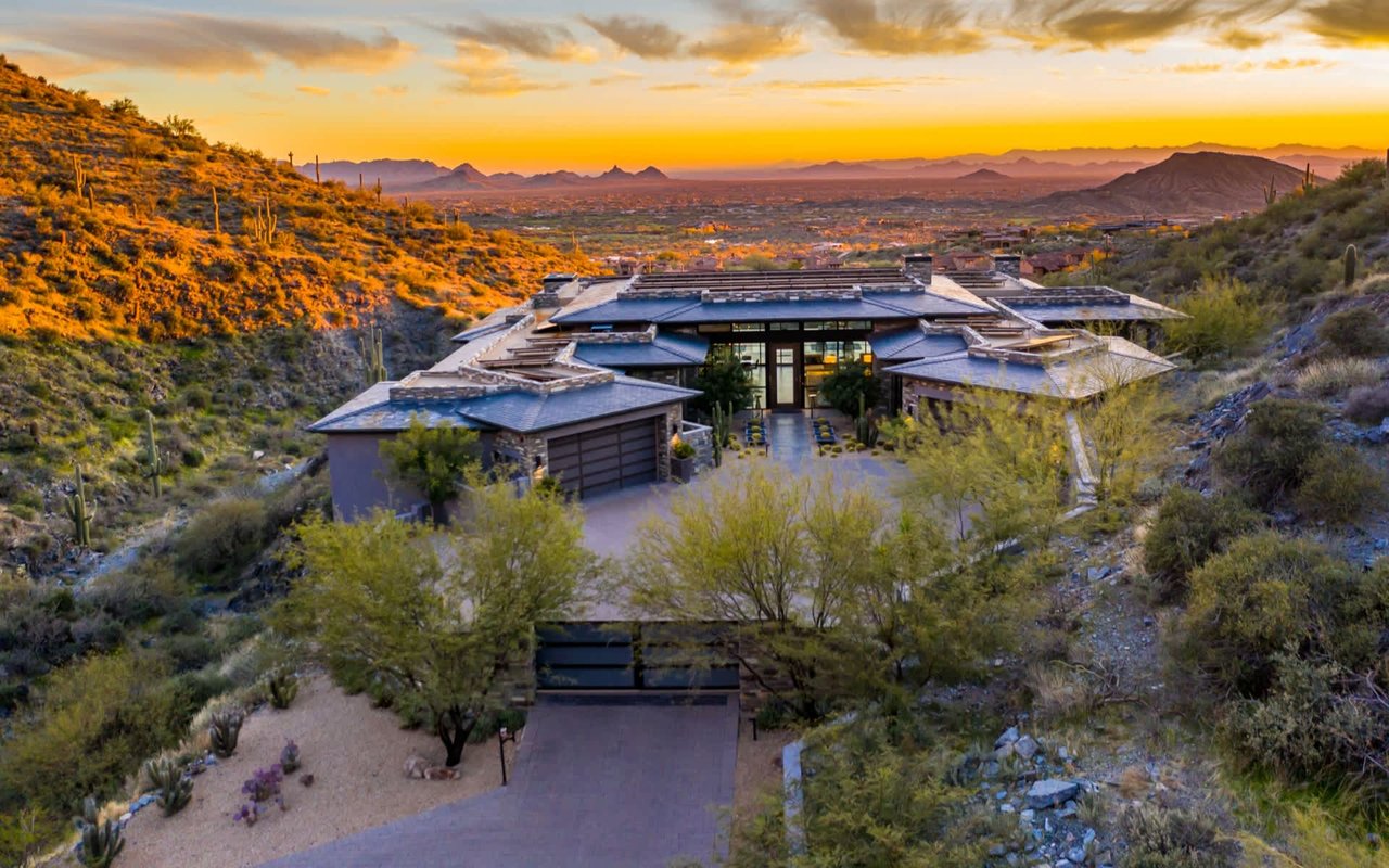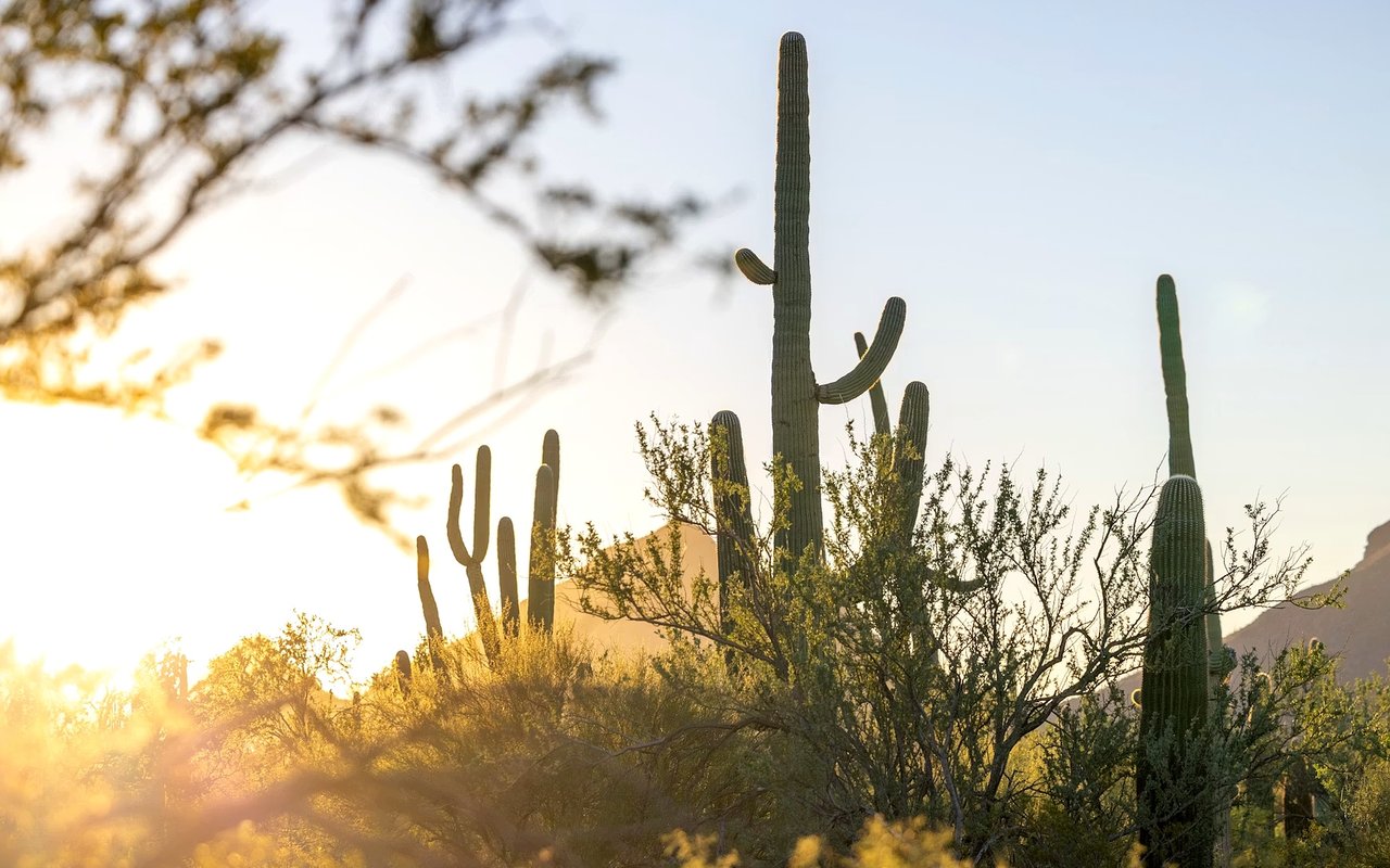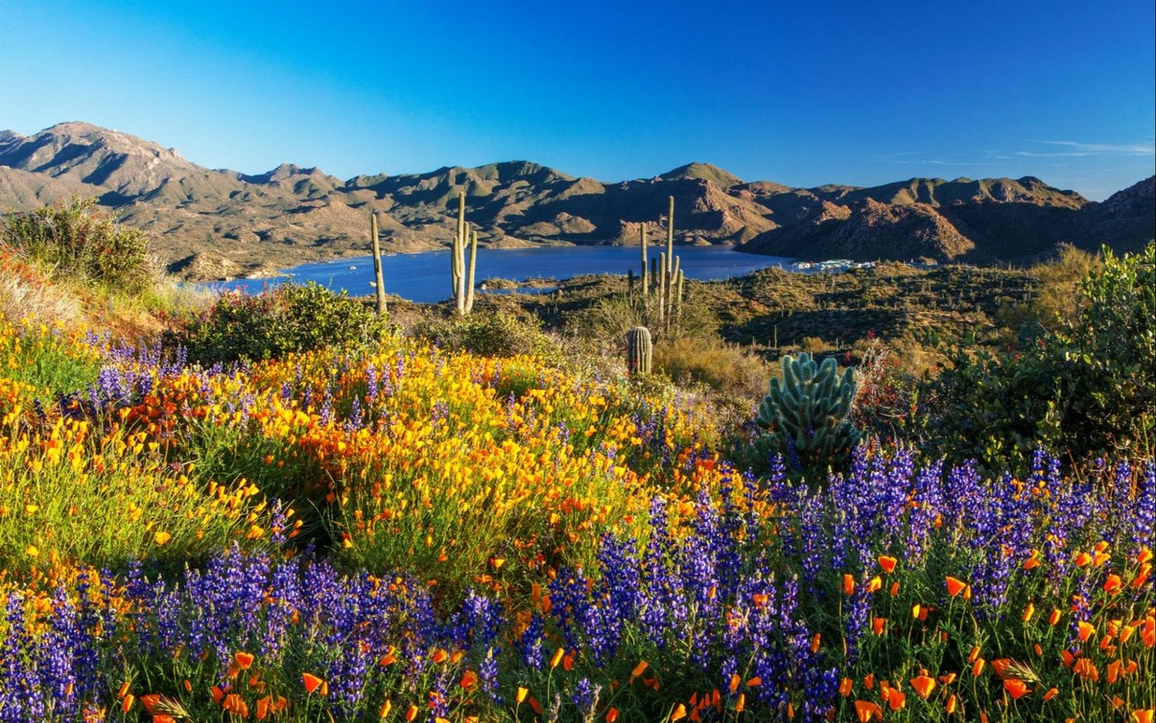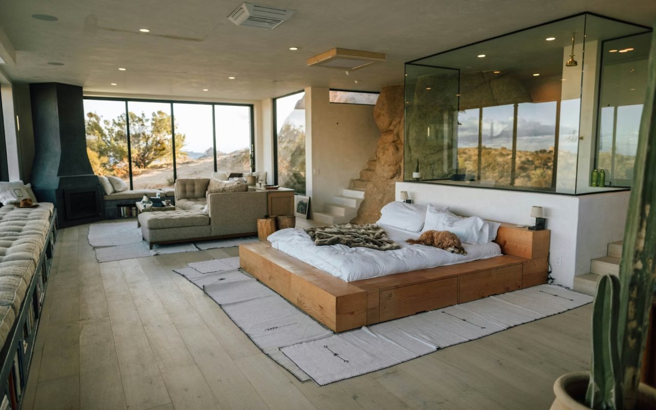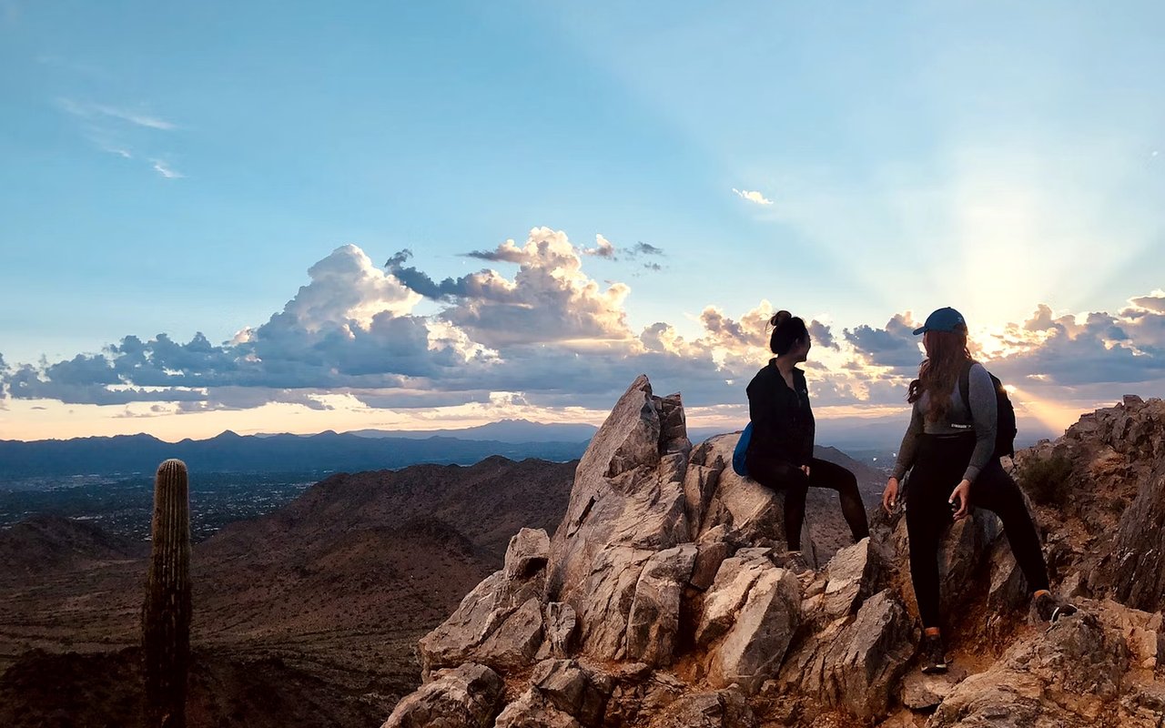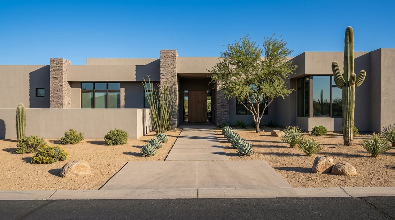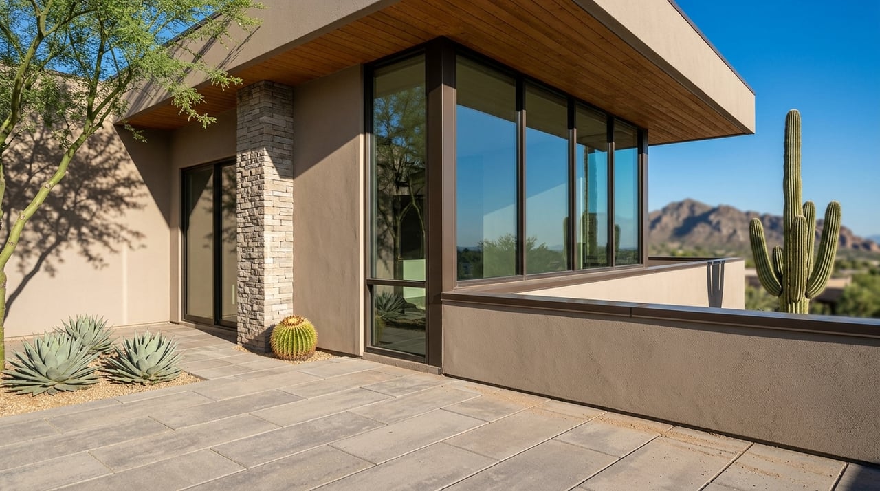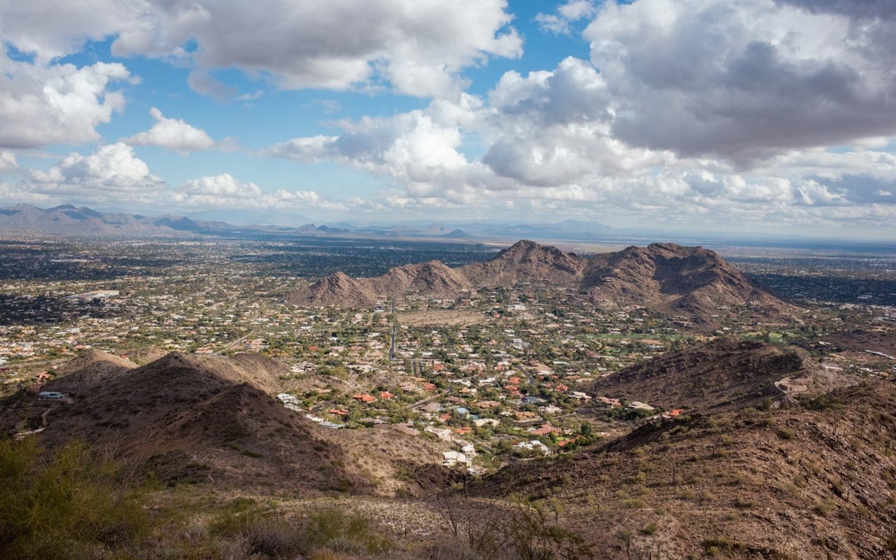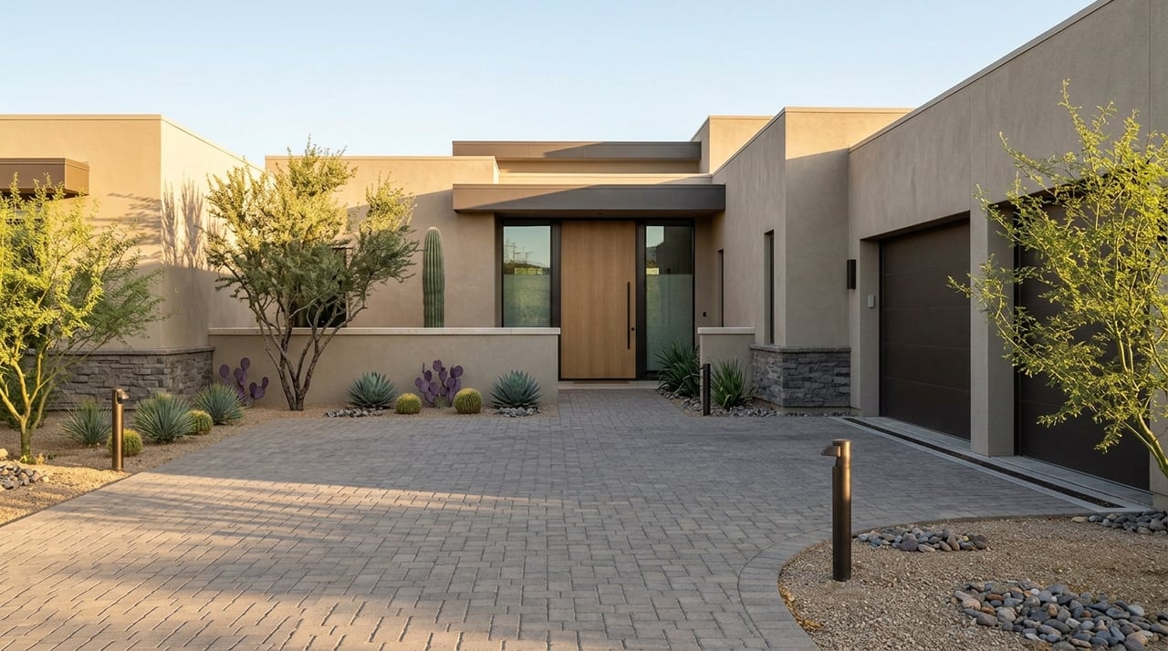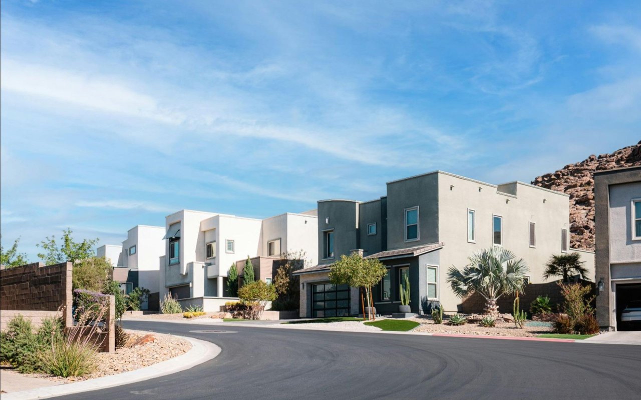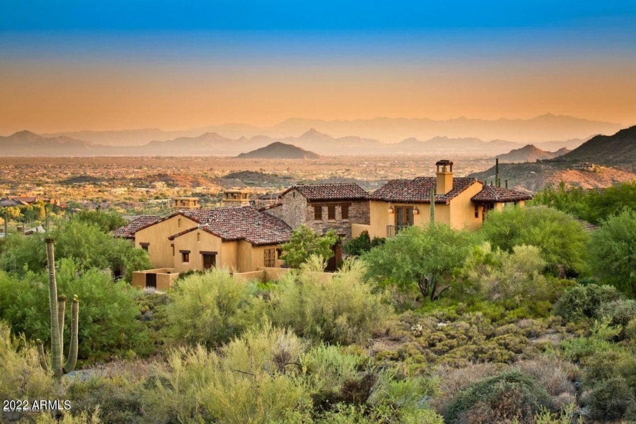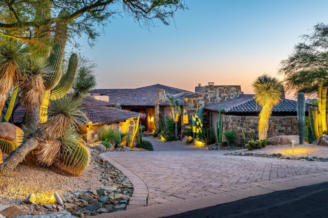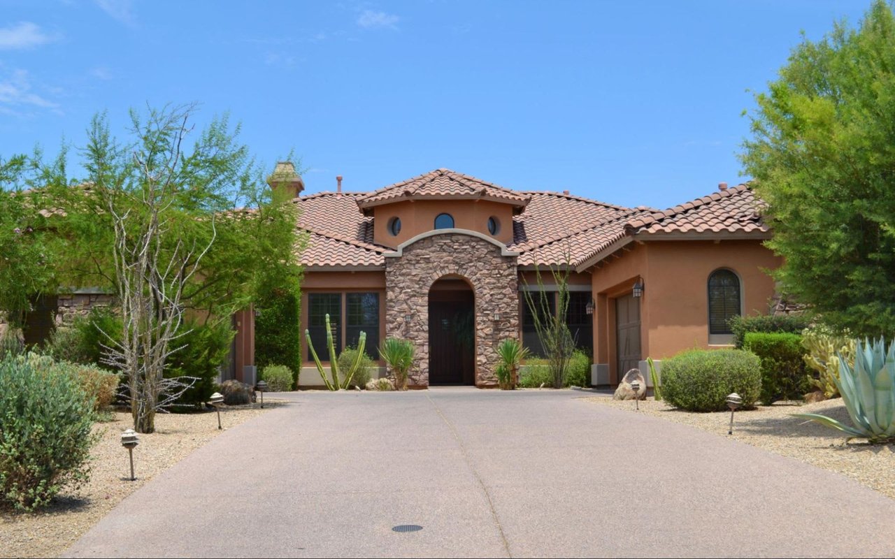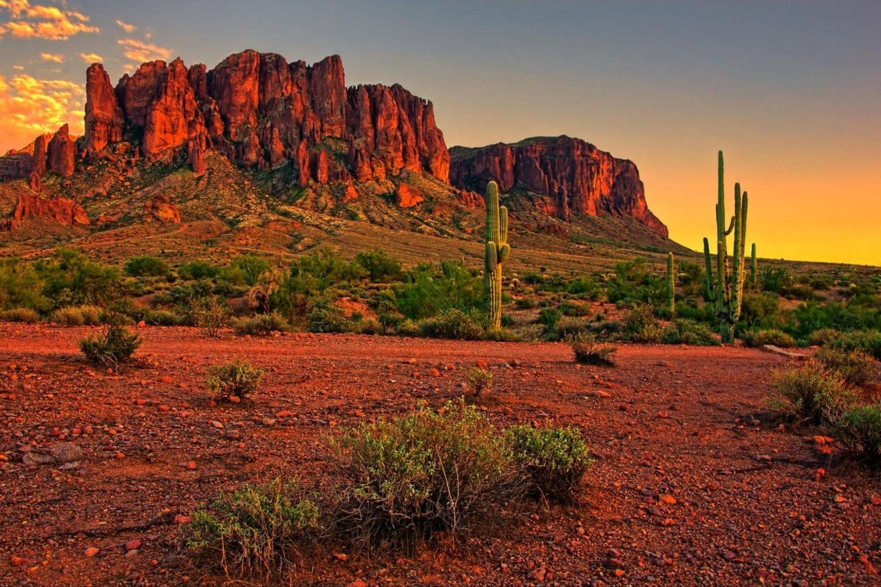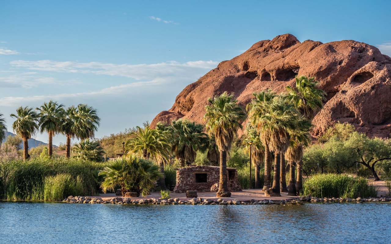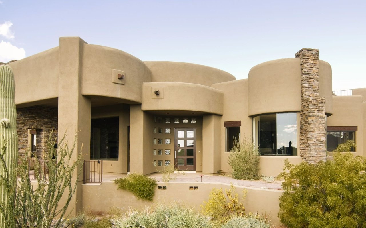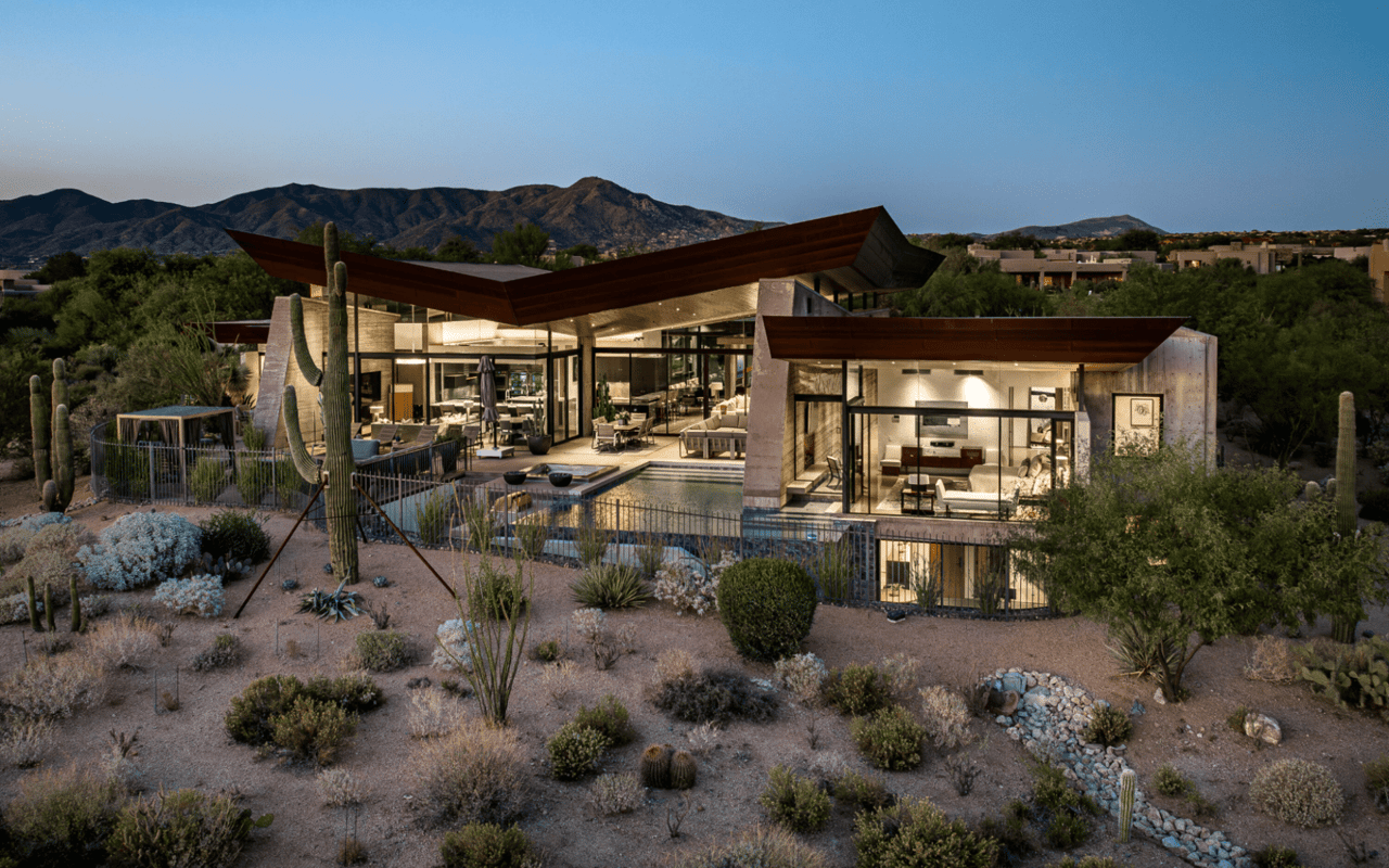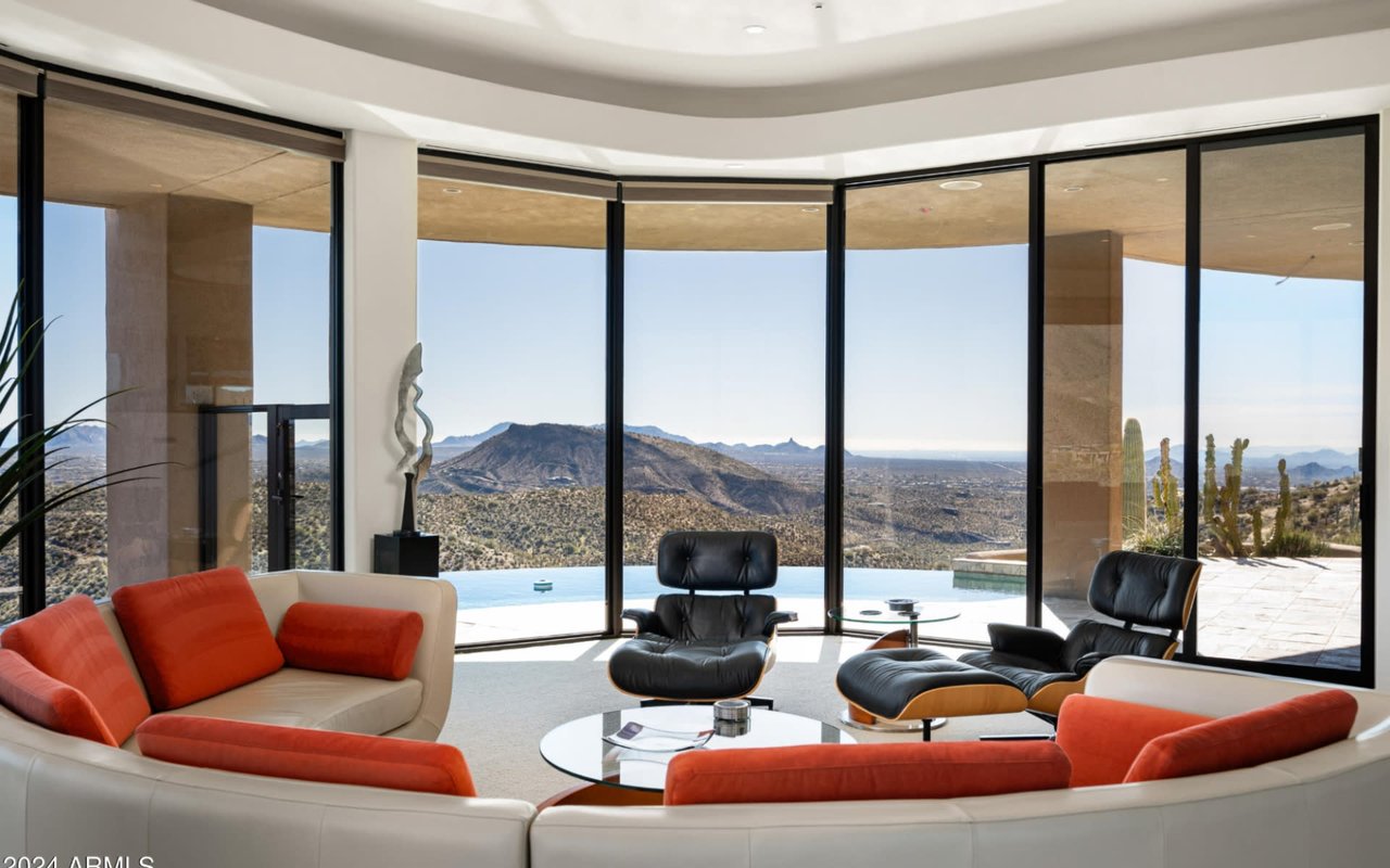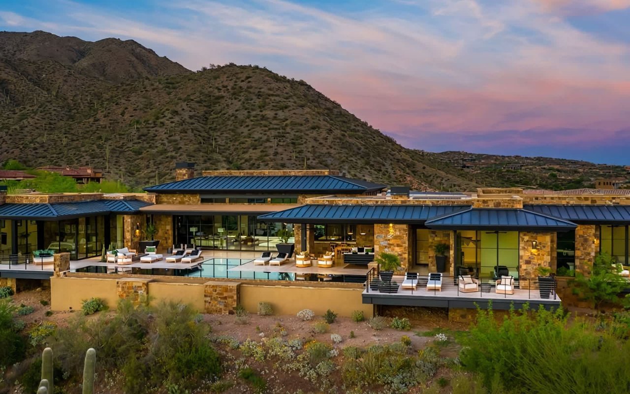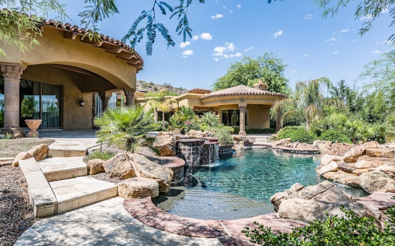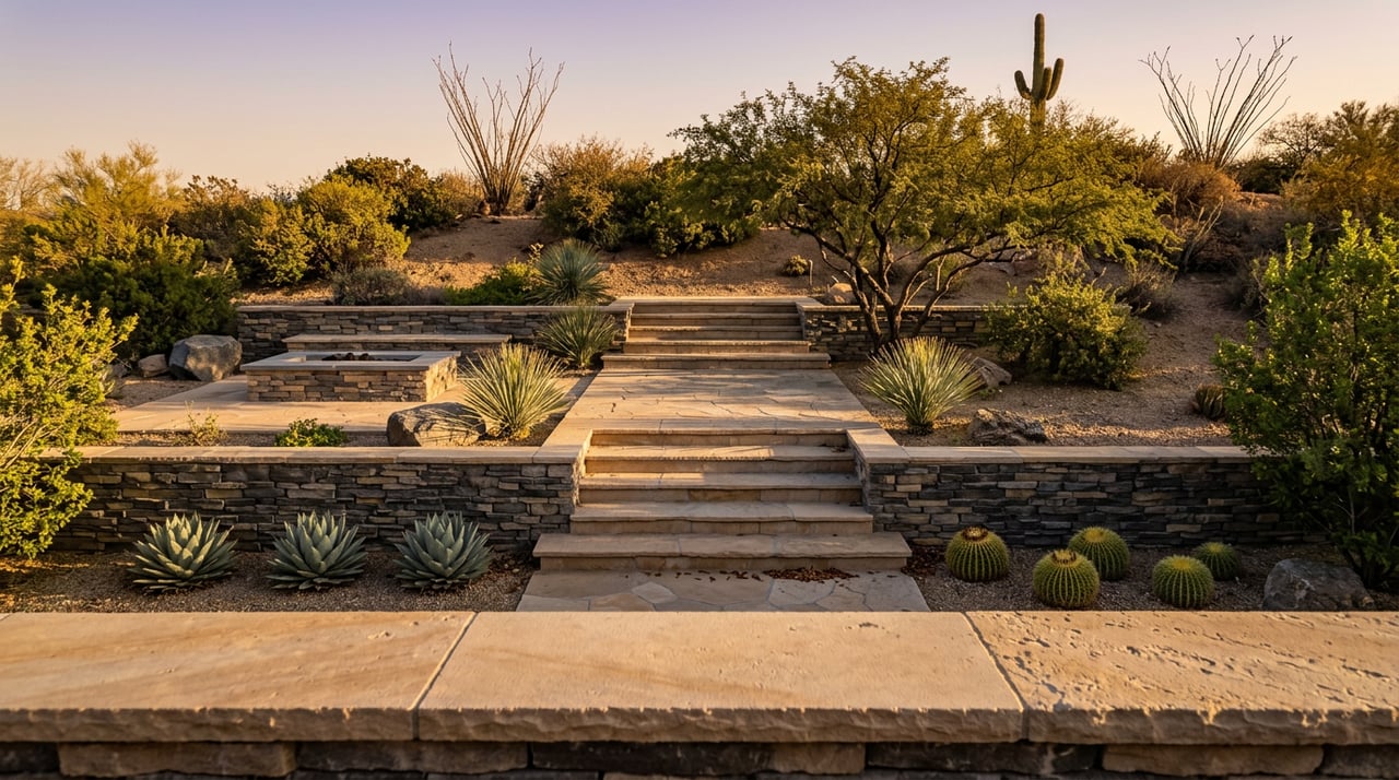
Every evening in Sunset Canyon, the light does the same thing. It drops behind the Continental Mountains, catches the stucco and stone of the homes built between 2001 and today, and turns the whole foothill into the reason the village got its name. If you own a patio here, you have watched this a hundred times. You may also have noticed that the view from your own backyard, spectacular as it is, is not actually the best seat in the house.
That seat is a half mile up the mountain, on a private loop of trail most residents drive past on their way to the Chiricahua Clubhouse without ever parking at the trailhead.
What the Name Actually Promises
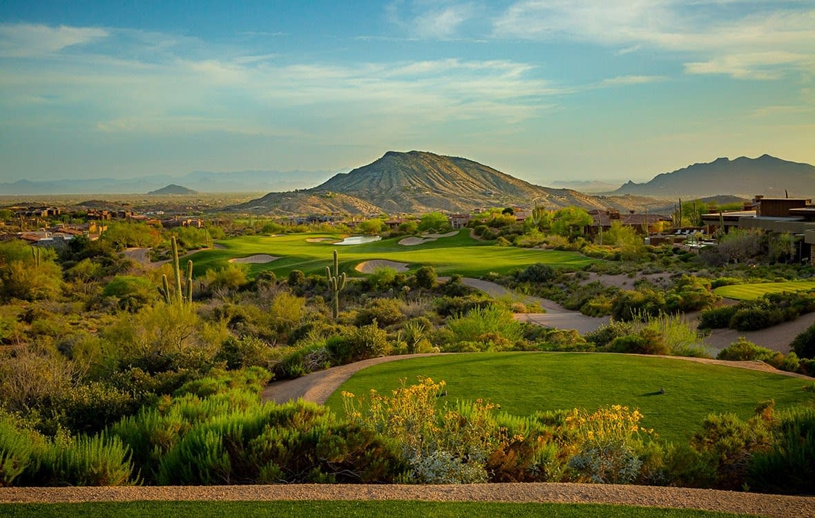
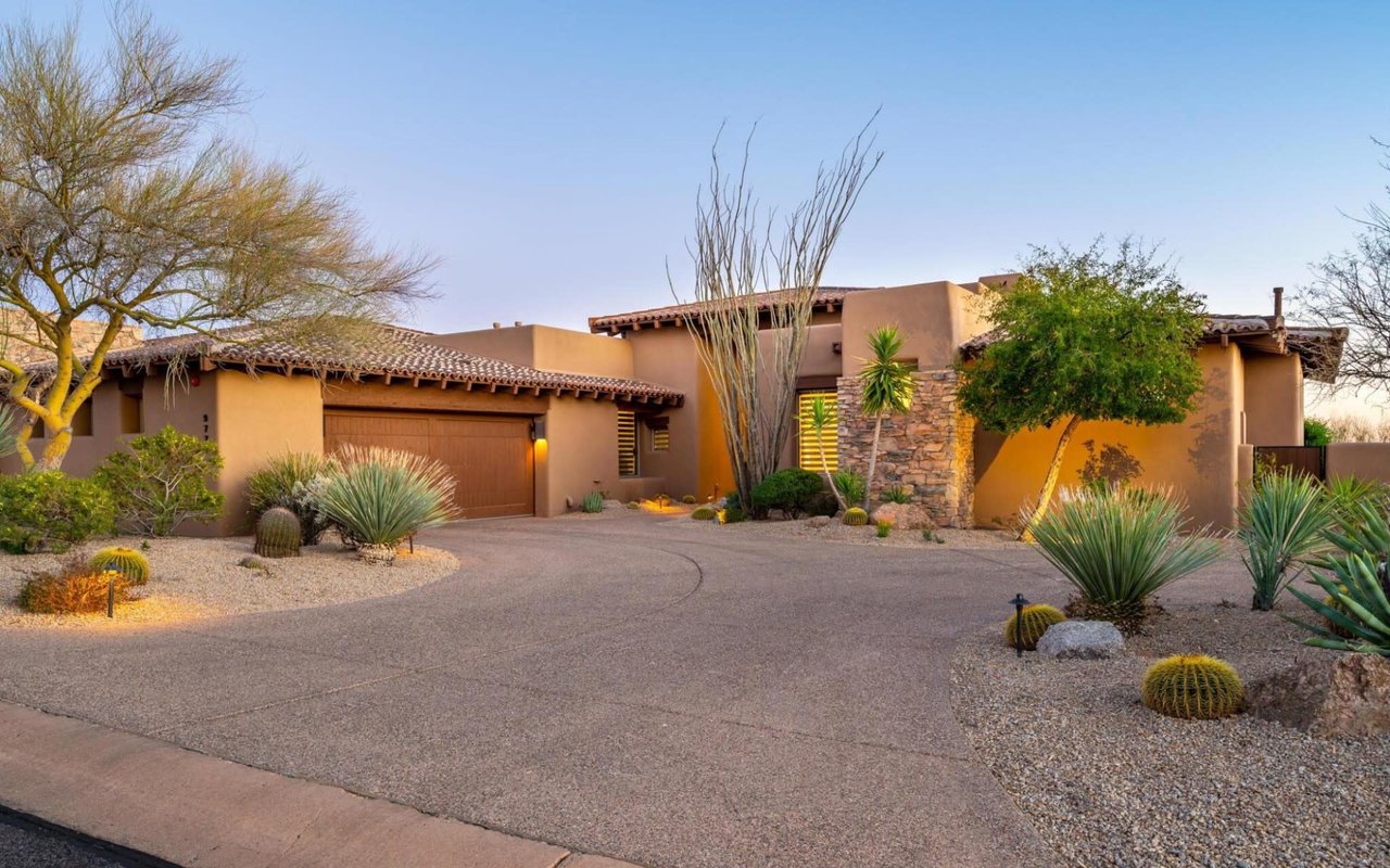
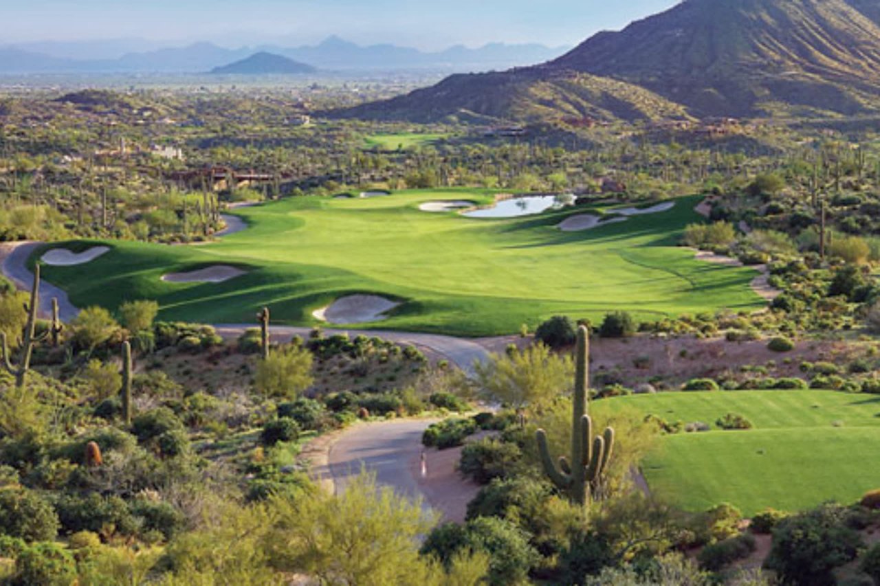
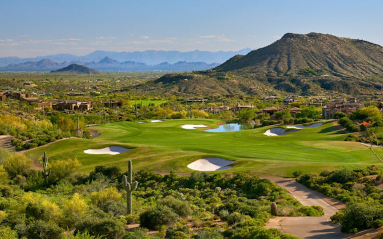
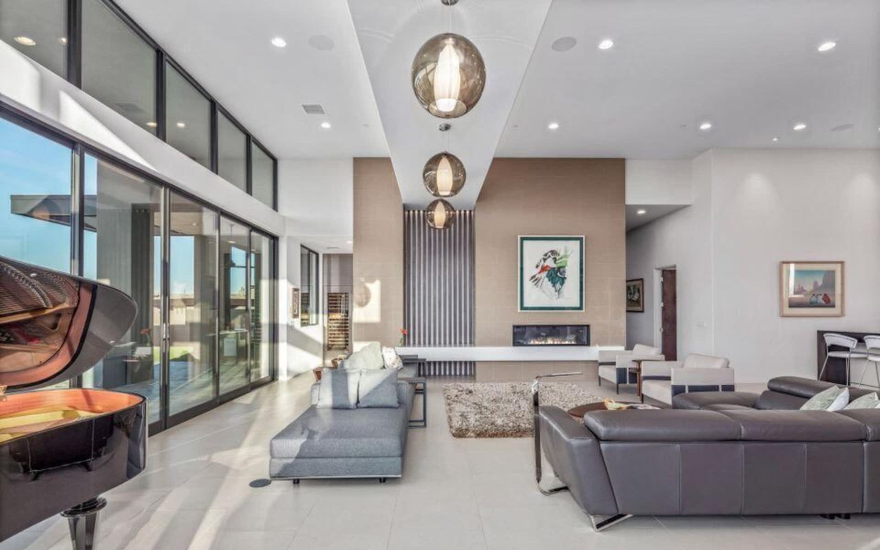
Sunset Canyon sits in the foothills of the Continental Mountains, inside Desert Mountain's gated boundary, with sightlines that stretch to Pinnacle Peak, the McDowell Mountains, and the distant cityscape beyond them. The Chiricahua golf course is close enough to reach in minutes. The homes here run large, typically 5,000 to 7,000 square feet, and the elevation is the whole point of the address.
That elevation is also what makes the village's name slightly misleading. The sunset you bought into does not stop at your property line. It continues up the same range, and the club built a trail specifically to chase it further than any backyard can.
A Half Mile Above the Rooftops
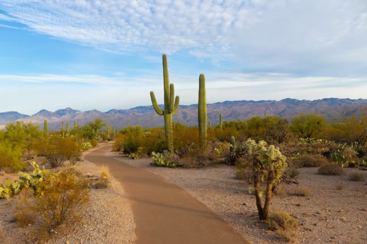
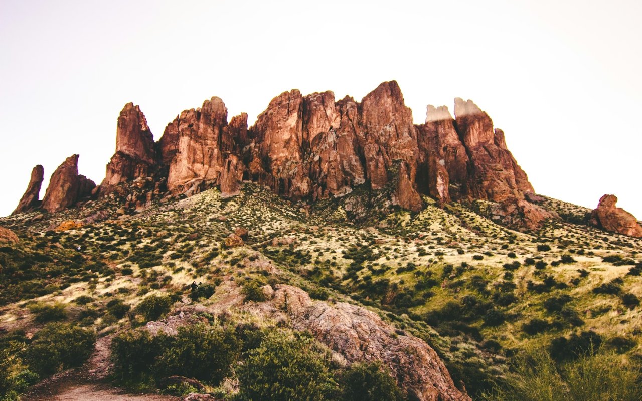
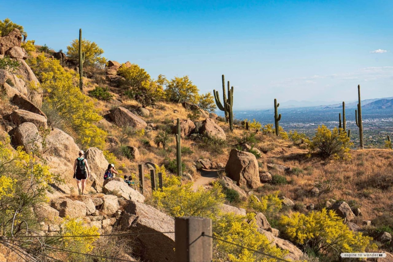
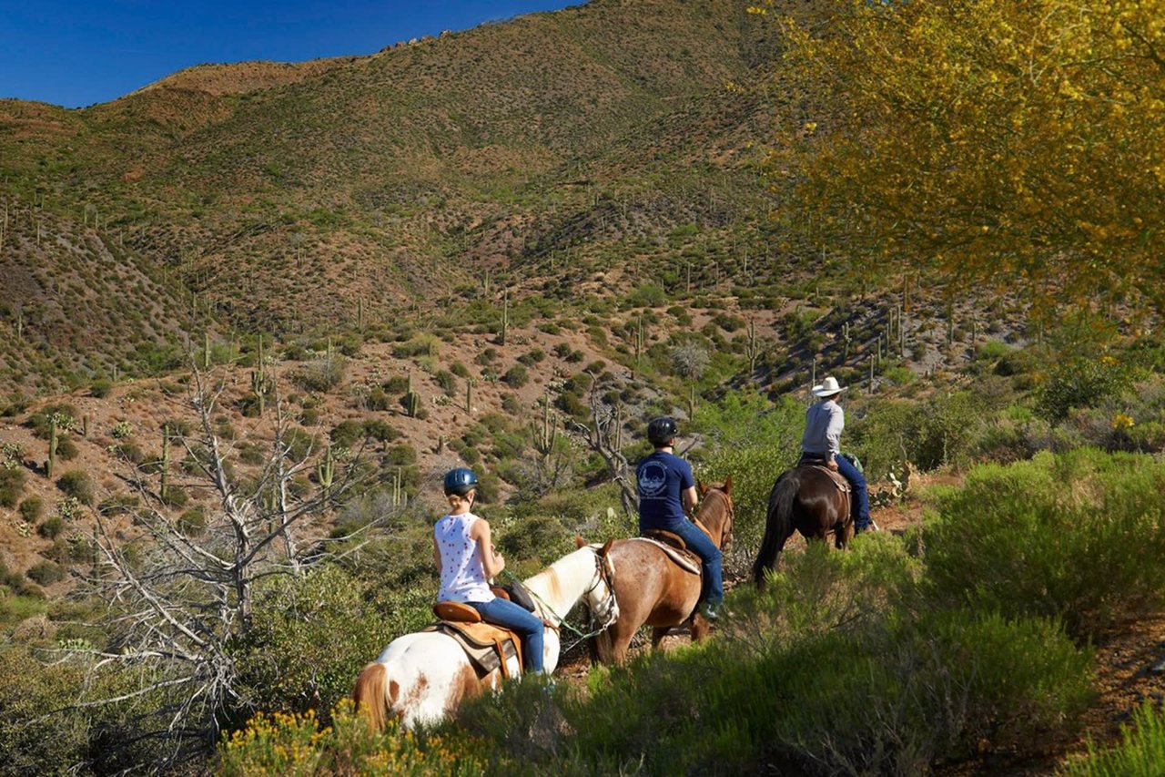
The trail is called the Sunset Summit Loop, an intermediate route that covers 2.8 miles and takes most hikers about an hour to complete. It runs along the eastern slope of the Continental Mountains, the same range Sunset Canyon backs into, and it is one of roughly a dozen named segments inside Desert Mountain's private trail system, a network the club now measures at 25 miles of private hiking and biking terrain climbing toward a 4,100 foot summit with views toward Skull Mesa, Elephant Butte, Harquahala Peak, and McDowell Mountain Regional Park.
None of it requires leaving the gates. None of it appears on a public trail map. And unlike the golf courses, it costs nothing extra to use once you are a member.
The community's own homeowners association makes the case for the loop directly. A recent notice on the Desert Mountain HOA site put it plainly: hike the Sunset Summit Loop to view a glorious sunset, then continue up to the China Wall Overlook under the light of the full moon. That is not marketing copy written for a listing. It is a standing recommendation from the people who run the trail system, aimed at members who already live here and are deciding what to do with their evening.
Where the Loop Actually Goes
The Sunset Summit Loop connects to the China Wall Trail, and this is where the route stops being a pleasant evening walk and starts being a genuine hike. China Wall adds a demanding 1.25 miles to the loop, climbing through 17 switchbacks and 800 vertical feet to reach a natural rock formation that looks unsettlingly like it was built rather than eroded. On a clear day, the overlook there offers sightlines toward the Santa Catalina Mountains near Tucson, more than a hundred miles south.
This is the detail that separates Sunset Canyon's trail access from generic desert scenery. A patio view is fixed. It shows you the same slice of sky every night from the same chair. The Sunset Summit and China Wall combination gives residents a route that changes with elevation, time of day, and season, and it ends at a vantage point that most Scottsdale homeowners, even wealthy ones, will never have private access to.
The Front Porch Nobody's Patio Can Match
The trail system starts at the Ranch trailhead, and the club has built real infrastructure around it rather than just a gate and a sign. A 55 inch interactive touchscreen at the trailhead displays live weather, trail specifications, wildlife and plant information, and lets hikers sort routes by distance, duration, and elevation gain before they set out. It is the kind of amenity you would expect at a resort, not at the base of a residential hiking trail, and it signals how seriously Desert Mountain treats this piece of the property.
The club also runs a standing calendar around the trailhead rather than leaving it as passive infrastructure. Monthly moonlight hikes and weekly social hikes give the trail a rhythm, turning what could be a solitary walk into a recurring gathering point for members who live in different villages but end up on the same ridge. For Sunset Canyon residents specifically, that means the neighborhood's defining feature, its light, becomes something communal rather than private, shared with neighbors on the same loop rather than watched alone from a chaise lounge.
You can read the club's own description of the trail network and its guidelines directly on the Desert Mountain HOA's trails page, which lays out the safety rules, the trailhead address, and the etiquette expected of hikers sharing the route with mountain bikers and the occasional bobcat.
Why the Season Matters Right Now
Late August is the hinge point for this trail system every year. The Sonoran Desert's worst heat runs through July and early August, and the private trails go quiet during that stretch the same way public preserves do. What changes by mid-September is not the trail itself but the number of people willing to use it after 6 p.m., which is exactly when the moonlight hikes and weekly social hikes pick back up in earnest.
The club has the numbers to show how much this matters to the broader membership. In 2024, Desert Mountain residents logged more than 15,000 trail hikes across the private system, and the club reported it was on track to surpass that figure again in 2025. Spread across a community of more than 5,000 residents and 35 villages, that works out to roughly three hikes per resident per year on average, though anyone who has stood at the Ranch trailhead on a cool October evening knows the real distribution is lopsided toward a smaller group of regulars who treat the loop the way other people treat a gym membership.
Sunset Canyon residents have a specific reason to be part of that regular group. The China Wall Overlook and the Sunset Summit Loop are not generic desert scenery borrowed from a stock photo. They are an extension of the exact foothill the village is built against, reachable by the same road most residents already drive to reach Chiricahua. The view a homeowner drove north from Chicago or Los Angeles to buy is not confined to the lot. It keeps climbing, and the club built a named, mapped, member-only way to follow it.
More detail on the full network, including the segments beyond Sunset Summit and China Wall, is available through the Desert Mountain Club's own trail page, which lists the eastern slope route and the landmarks visible from the summit.
The Part of the Address That Never Shows Up in Photos
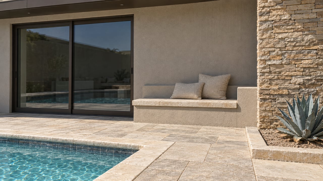
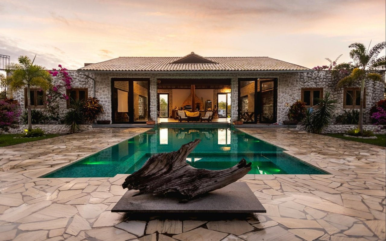
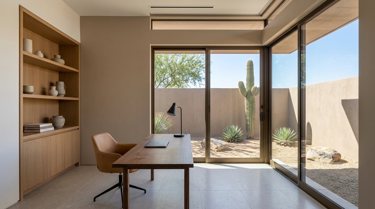
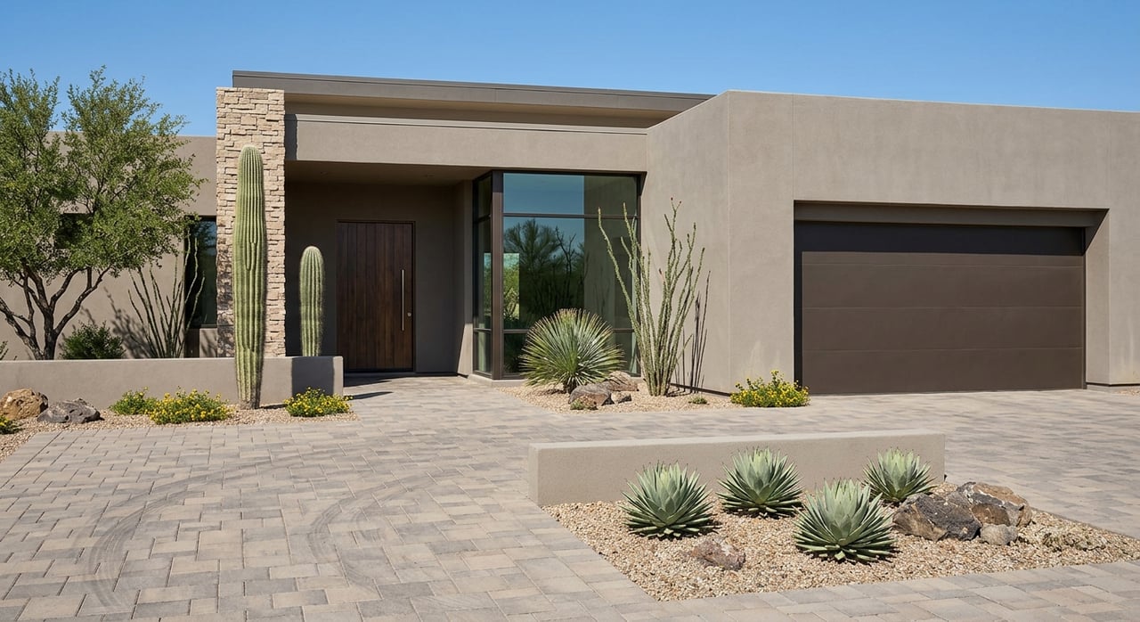
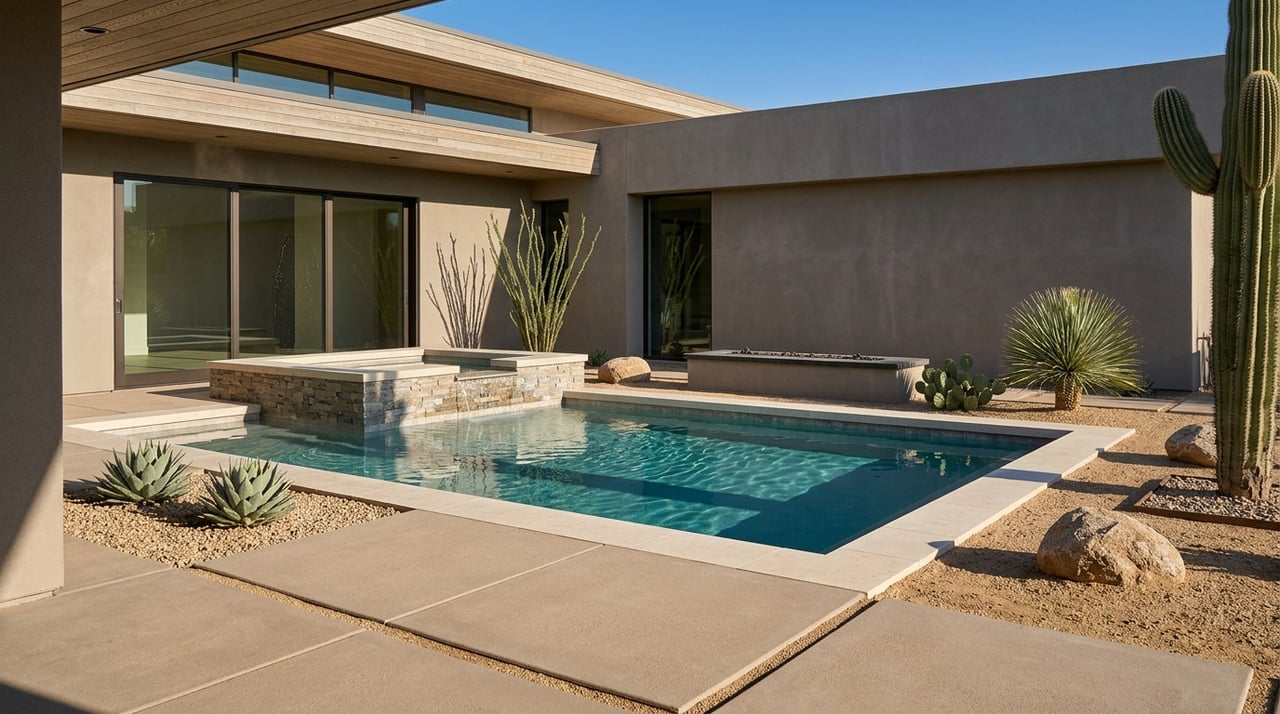
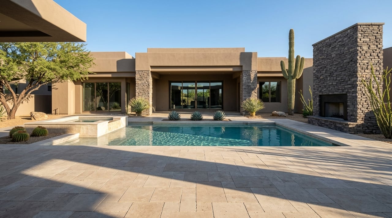
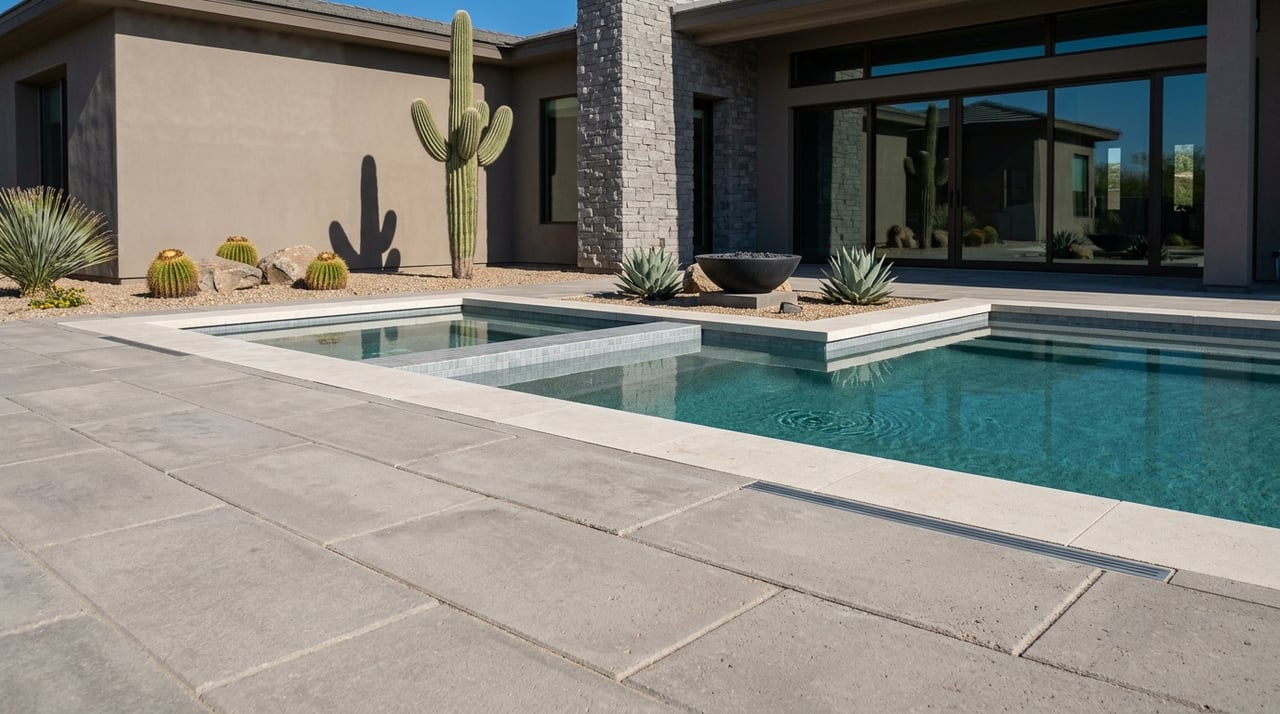
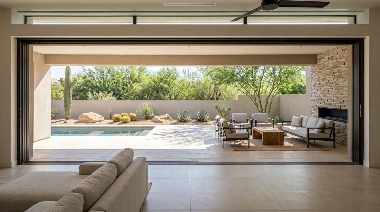
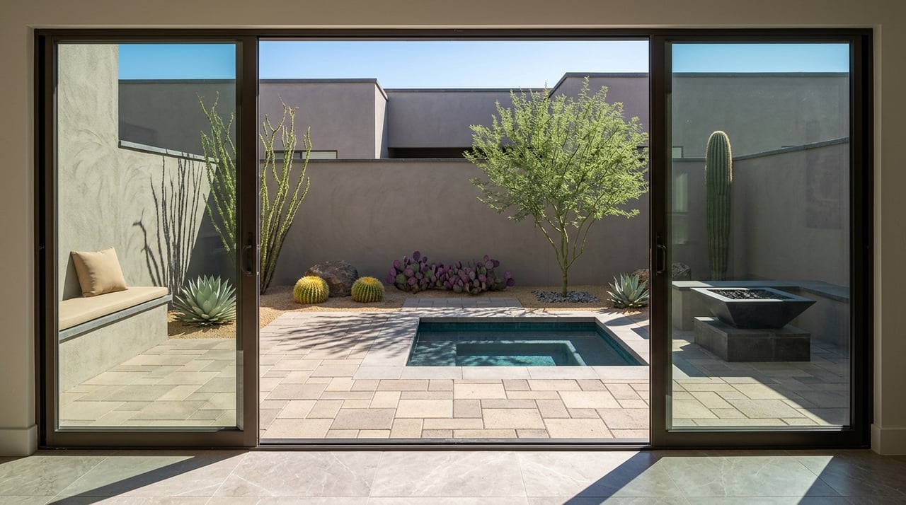
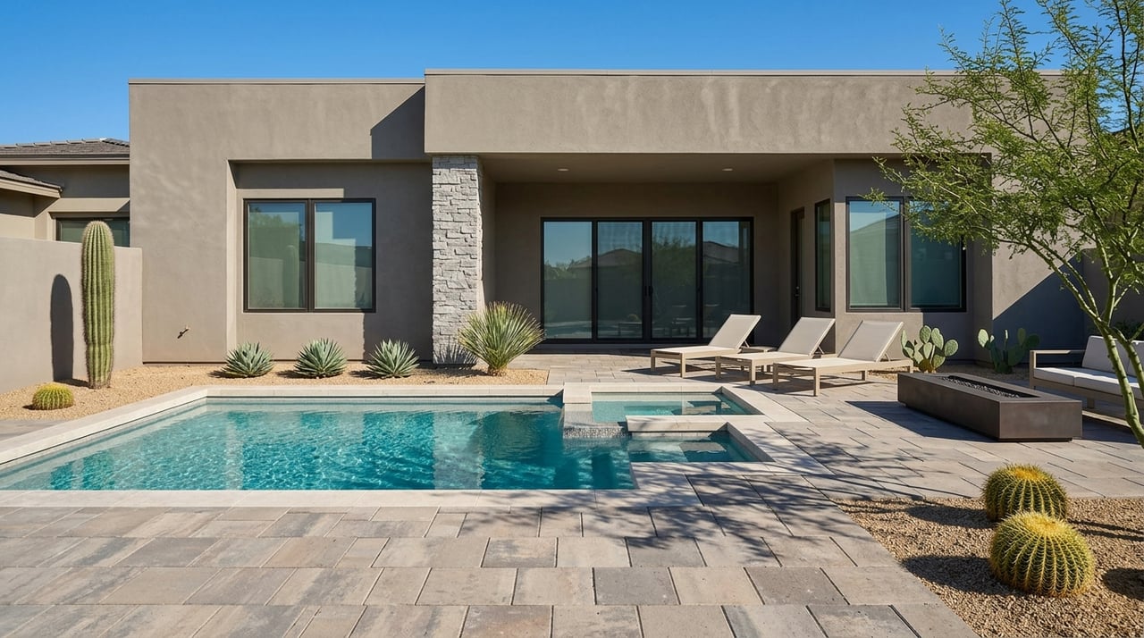
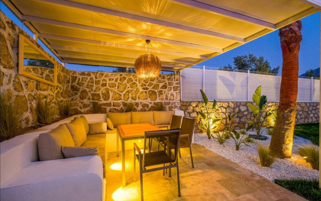
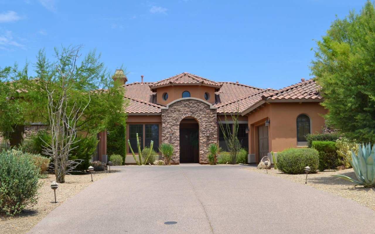
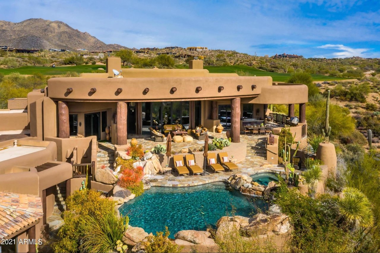
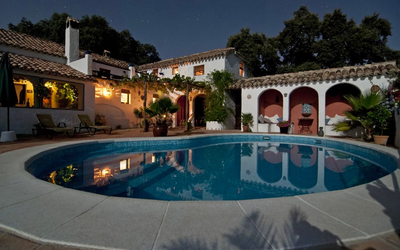
Real estate photography captures the patio, the pool, and the sunset visible from the living room glass. It rarely captures the trailhead a few minutes away, the interactive kiosk that tells you which loop to take tonight, or the small crowd that gathers there once a month when the moon is full. That gap is worth knowing about if you already live in Sunset Canyon and have spent more evenings on your own patio than on the mountain behind it. The name on your address was never describing a view you were meant to watch from a chair. It was describing a range you are meant to walk into.
If you're weighing a move within Desert Mountain or curious what a specific village, including Sunset Canyon, actually delivers beyond the listing photos, the team at Power+ lives on property and can walk you through it in person. Schedule a private consultation with Desert Mountain experts who know which trail, which clubhouse, and which village fits the life you're actually trying to build.